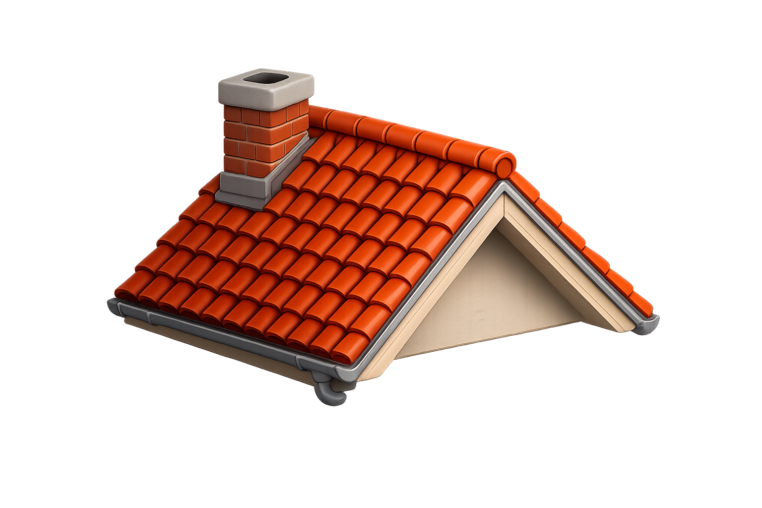
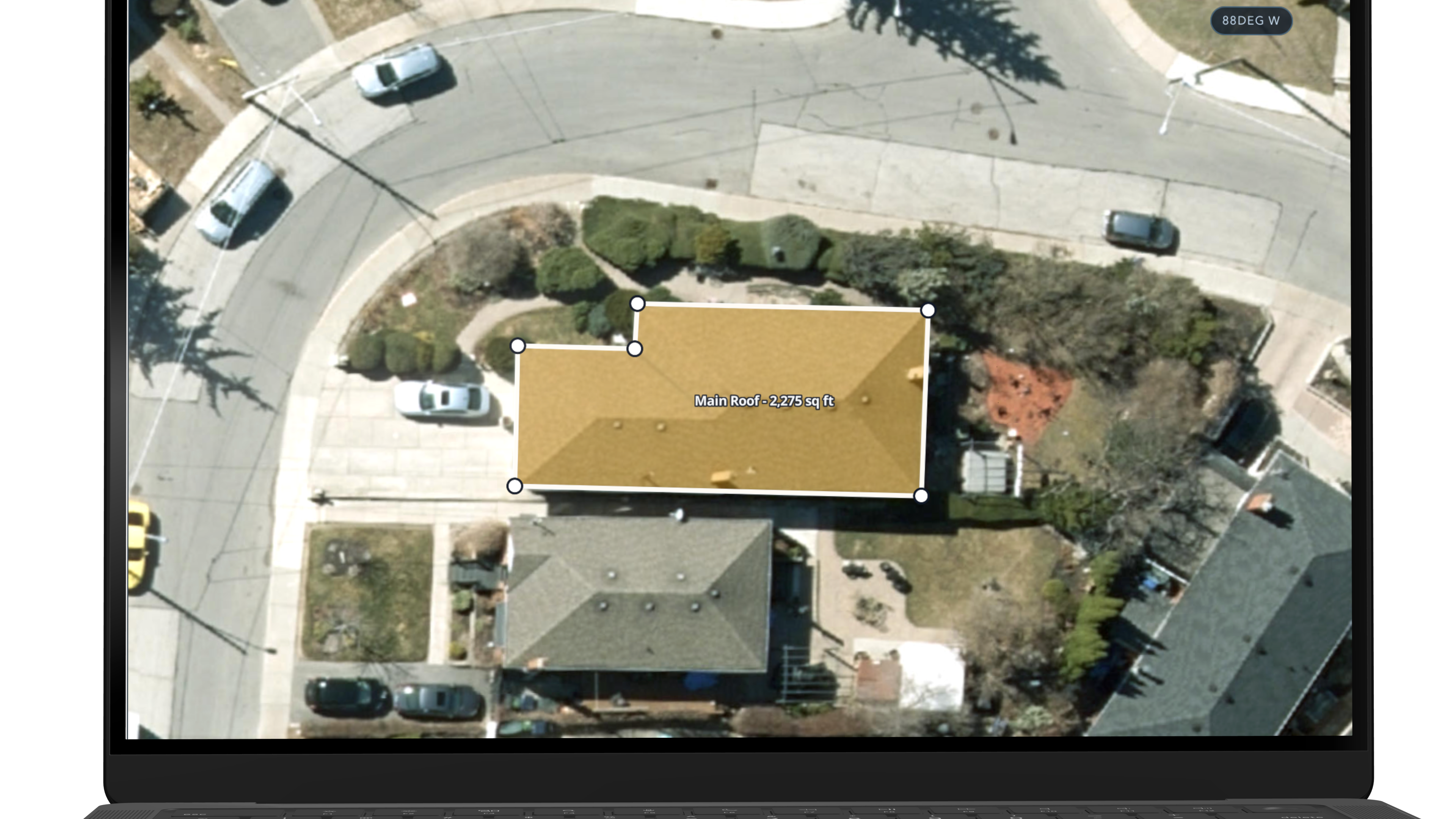
Roof measurements
Get roof scope context before the truck rolls.
Measure exterior job scope remotely so contractors can quote faster, reduce wasted site visits, and plan better before arriving at the property.
Measure roofs, fences, driveways, lawns, lots, decks, and pathways before the first visit so the office can respond faster, plan better, and avoid unnecessary windshield time.
Get roof scope context before the truck rolls.

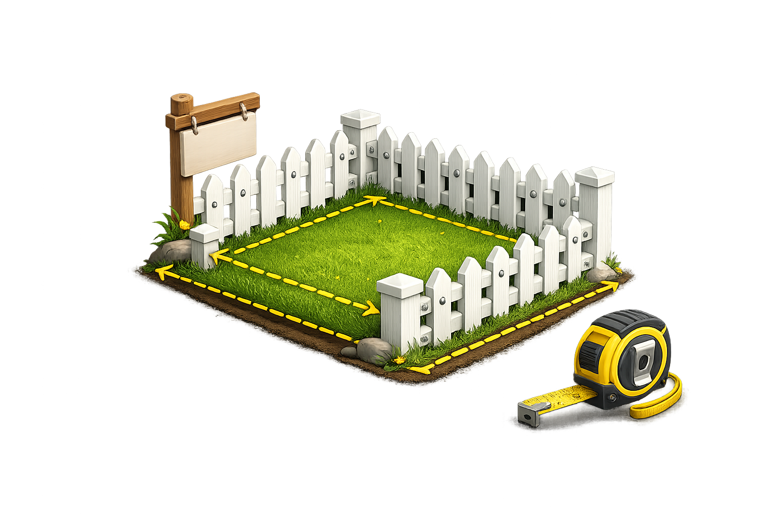
Map fence lines and perimeter sections faster.

Support paving, sealing, and exterior planning scopes.

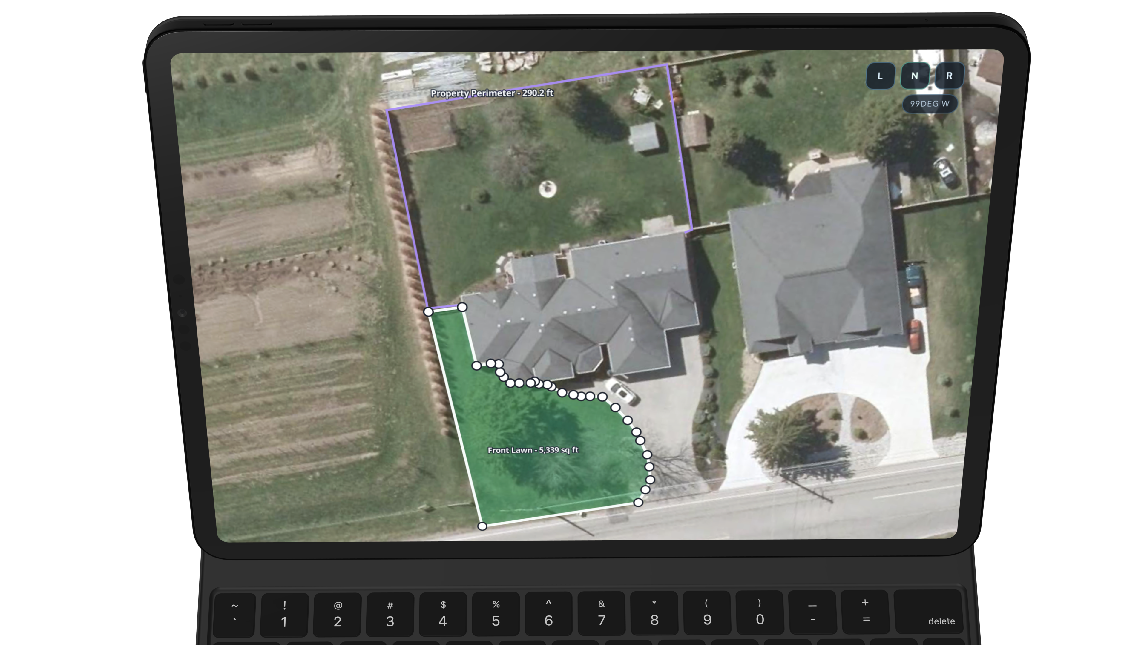
Measure front lawns, backyards, and installable areas remotely.

Review backyard and deck footprint before quoting materials.
Keep the broader property footprint in view while scoping.

Review the exterior job footprint early so you can understand the property before dispatching someone onsite.
Use measured areas for roofs, fences, driveways, lawns, backyards, lot area, decks, and pathways without treating the job like a one-surface estimate.
Bring remote measurements into estimate prep so your first quote feels more organized and more contractor-ready from the start.
Reduce low-value site visits and use contractor judgment where it adds the most value instead of just gathering initial dimensions.
Faster first quotes, better pre-arrival planning, and fewer unnecessary trips that eat up fuel, time, and admin capacity.
Remote measurements help teams respond faster to inbound leads and spend less time driving just to collect first-pass scope information.
Start pricing sooner instead of waiting for the first visit just to collect exterior dimensions.
Avoid unnecessary estimate trips and reduce the quiet cost of gas, drive time, and rescheduling.
When first-pass measuring moves faster, the team can respond to more opportunities each week.
The goal is to make the first estimating pass faster. Teams can review exterior scope, build pricing sooner, and arrive onsite with a better picture of the property.
Remote measurements fit best when they accelerate the rest of the job cycle, from first estimate to cleaner documentation and better planning before arrival.
Use measured areas to start professional estimates earlier instead of collecting dimensions, then rebuilding the quote later.
Exterior scope and measured context stay easier to explain inside the estimate package and internal handoff.
For many teams, the time and fuel avoided on low-value estimate trips can become a meaningful operational win over time.
Satellite imagery quality varies by property and region. Some areas may have very high detail imagery, while others may have lower-resolution coverage.
Logic Lens positions this workflow as a fast estimating and planning tool used alongside contractor judgment, not as a universal promise of exact precision for every property.
See how satellite measurements fit into the broader contractor workflow, from first-pass scoping to professional estimates and better arrival planning.
Extra detail for teams comparing restoration software workflows and trying to understand how this feature fits into the larger operation.